August 23, 2009
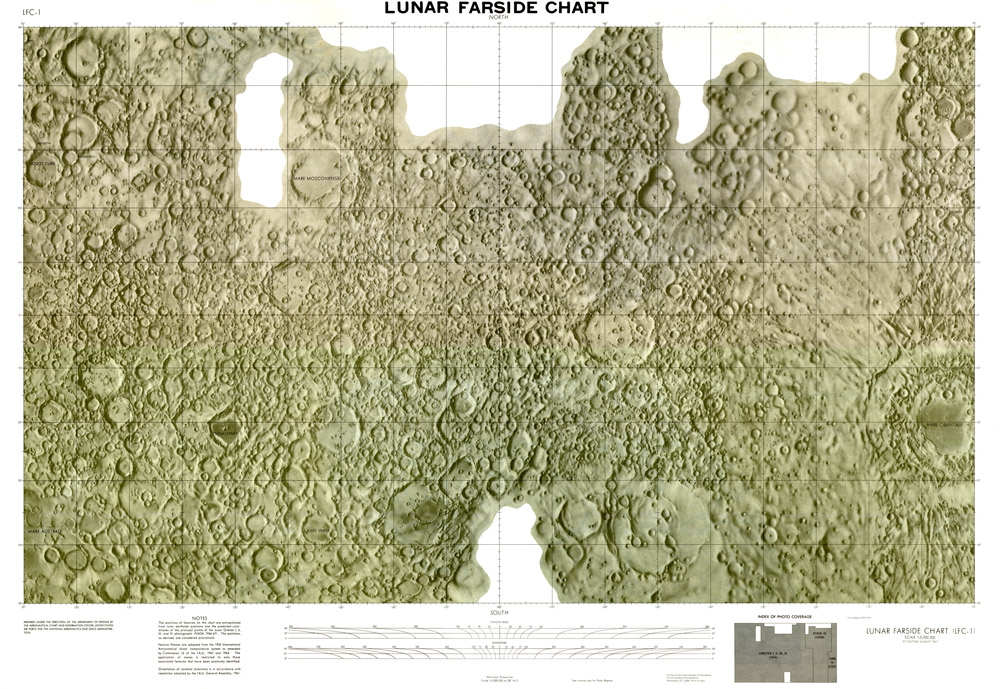
LFC-1

image from Mary Ann Hager of the LPI by way of Phil Horzempa
In August of 1967 the US published the first reasonably complete map of the lunar farside. Although the farside was the very first piece of celestial real estate to be imaged from space it wasn't until the Lunar Orbiters of the mid-1960s that a significant portion was imaged with enough clarity to compile a decent map. Zond III images were used to fill the gap west of Mare Orientale - note the more generalized mapping because of the lower resolution. Other than along path images obtained during the Apollo program there was no high resolution images of the farside until Clementine of 1994. The fact that we can't see the farside, that there are few maria (which we learned to understand in the 1970s) and there were almost no new data, the farside fell out of our consciousness. It is still vastly understudied, partially because mapping chemical provinces in the highlands has been difficult. But with the new generation of lunar orbiters we will have (when ever it all is finally released) high resolution gravity, topo and compositional maps of the farside. This should lead to a jump in interest and understanding. But until we bring rock samples from the farside - especially the South Pole-Aitken Basin - we will never have a firm understanding of the ages of major events on that averted hemisphere.
Chuck Wood
Related Link
A larger scale version is available on the Moon Wiki here.
Yesterday's LPOD: Is There Ice Here?
Tomorrow's LPOD: Quad 3
COMMENTS?
Register, Log in, and join in the comments.


