May 2, 2012
The Alpine And Other Rilles

image by Mike Wirths, Baja California, Mexico
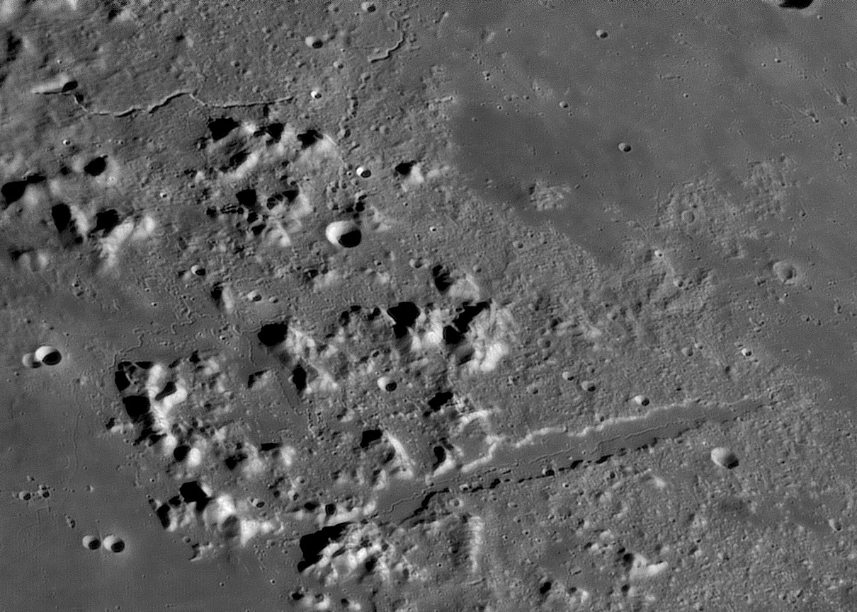
Is it masochistic to receive an excellent image of Plato and the Alpine Valley and concentrates on something else? No matter what, today's LPOD looks at the 4 or 5 or 6 rilles shown here. The number is uncertain - how many do you count? First, of course is the super sinuous rilles down the middle of the Alpine Valley. The Quick Map altimetry reveals that the down slope direction is to the northeast, away from Imbrium, although at a distance of about 100 km the slope abruptly rises 250 m, but the rille keeps going. The next well defined rille is Plato I at upper left. This slightly sinuous rille starts at a wedge-shapped depression and flows about 90 km, mostly downhill before it gets lost, continuing another 30 km, apparently uphill, on Mike's image but hardly visible on the LRO mosaic. Does this rille connect to the chain of craters to its east, or to the sharply incised rille further to the northeast? I don't know. At left center is a nexus of narrow rilles. There is a roughly circular collapse pit close to the Imbrium end of the Alpine Valley that a rille starts at, and with intense sinuosity flows northward where it may sharply bend to the east around a mountain, or perhaps it bends to the west and continues as normal sinuous rilles toward the south where it enters Mare Imbrium and continues as a narrow rille. On the Mare another thin rille starts in a vee-shapped depression. In the System of Lunar Craters map from about 45 years ago we showed the rille from the depression connected with the segment that flowed south into Imbrium and called it Plato II. Another rille - this time a wide floor, shallow one in Mare Frigoris - called Archytas I is just visible at upper right. Finally, next is something relatively new. Near the bottom center is a subtle straight line running perpendicular to the Alpine Valley toward the south. It may not be a real feature but it seems to connect at a steep angle with a line of collapse pits or rille that reaches to the bottom edge of the image, rising up and passing over a saddle of two mountains enroute. This can be confirmed on the LRO Quick Map. I think there are 8 rilles in this image, but there could be more - or fewer.
Chuck Wood
Technical Details
April 30, 2012. 18" (45cm) Zambuto primary Starmaster dob (driven) + lumenera Infinity 2-2 Mono camera + R/IR filter + 4X's Powermate barlow.
Related Links
Rükl plate 4
Yesterday's LPOD: More Clearly Hot
Tomorrow's LPOD: Waves of the Moon
COMMENTS?
Register, Log in, and join in the comments.


