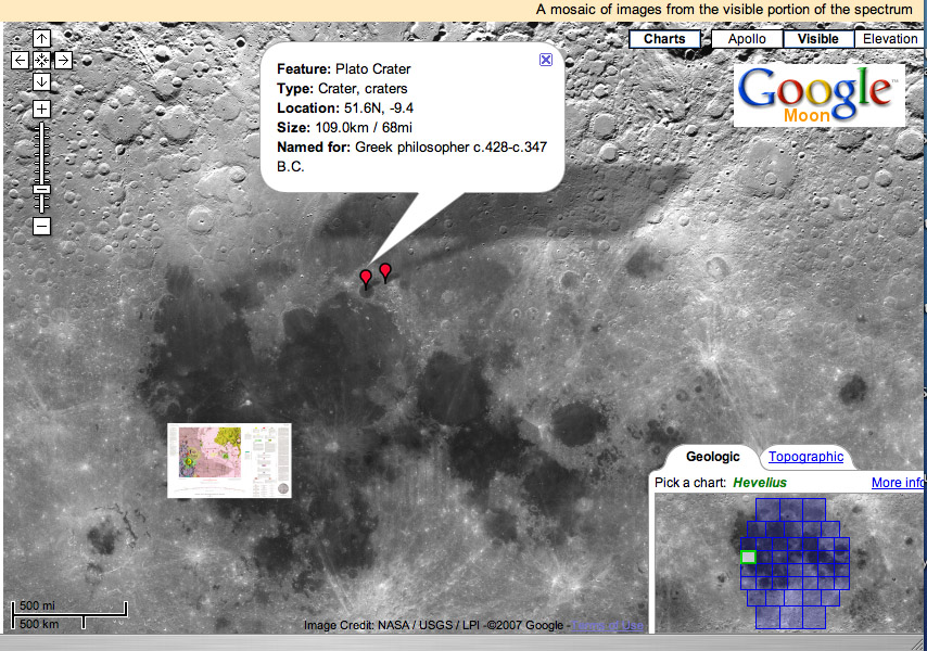
chart from Google Moon
A powerful new way to look at the Moon is available to all. Google, whose Earth and Maps products are heavily used because they bring previously unavailable images to the public, has now greatly upgraded Google Moon so that it is an easy way to examine a few major lunar data sets. There are two image base maps - the USGS Clementine mosaic and topomap - that can be zoomed and pulled to see any location. Each of the USGS Geologic and LAC maps can displayed as well. Additionally there is a series of higher resolution images nestled on top of each other for the Apollo landing sites, so that you can zoom in to the LPI traverse maps, and even look at photos from the surface with short descriptions linked to the Apollo Lunar Surface Journals. One feature that is missing but would be very useful is nomenclature. You can search for a name - such as Plato in the example - but it would be fantastic to see the names of features as they are moused over. Google Moon has far fewer features than the free Virtual Moon Atlas, but as an internet application is easier to use. This familiar interface could be used, for example, for access to the SMART-1 images (perhaps if ESA gave them to Google, Google would spend the money to make them easily accessible) and the forthcoming SELENE ones. This is a welcome public (NASA) - private (Google) collaboration that perhaps can be expanded much more by clever programmers using the Google <a href="http://www.google.com/apis/maps/">APIs.
Yesterday's LPOD: Oddly Familiar
Tomorrow's LPOD: Starry Moon
COMMENTS?
Register, Log in, and join in the comments.


